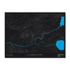
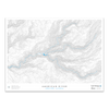
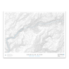
RIO GRANDE RIVER / BOX CANYON, CO
River Length: 1,896 Miles
Source: 37°47’52”N, 107°32’18”W
Mouth: 25°57’22”N, 97°8’43”W
Topo Interval: 50 Feet
The Rio Grande River starts in the San Juan Mountains and flows east before turning south going through New Mexico, where it hits the Texas / Mexico border, and continues southeast along the border all the way to the Gulf of Mexico.
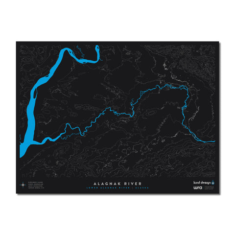
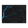
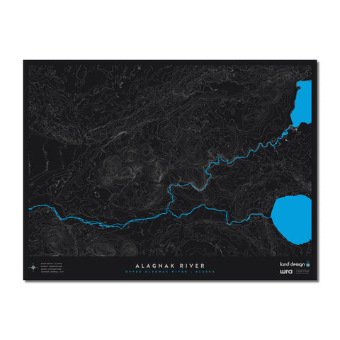
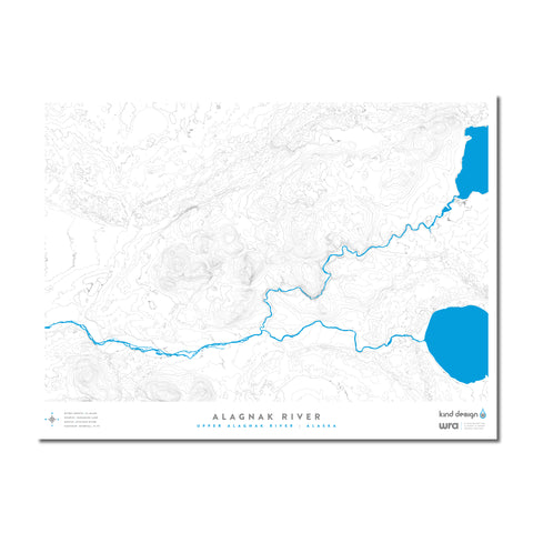
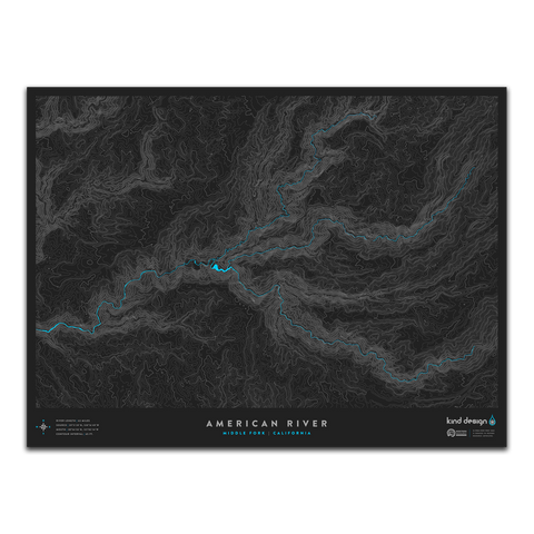
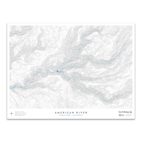
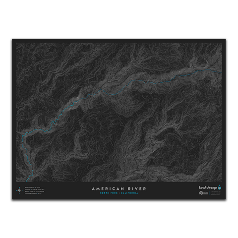
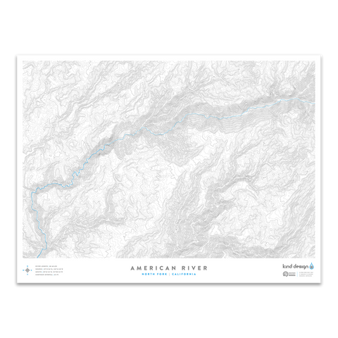
Our River Topo Maps feature accurate topographic & hydrographic data of rivers and creeks around the United States. Each print is carefully designed from scratch using a variety of techniques and real USGS data, creating unique artwork that you will not find anywhere else.
Each print is made in the U.S.A. using 100% cotton Moab Entrada archival quality paper with a slightly textured matte finish and exceptional color reproduction.
$2 from every print sold is donated to Western Resource Advocates, a 501(c)(3) nonprofit with a focus on protecting rivers and lakes across the west.
Each made-to-order print takes 7-10 days to print and ship.
We highly recommend framing prints immediately to avoid potential damage.