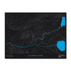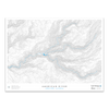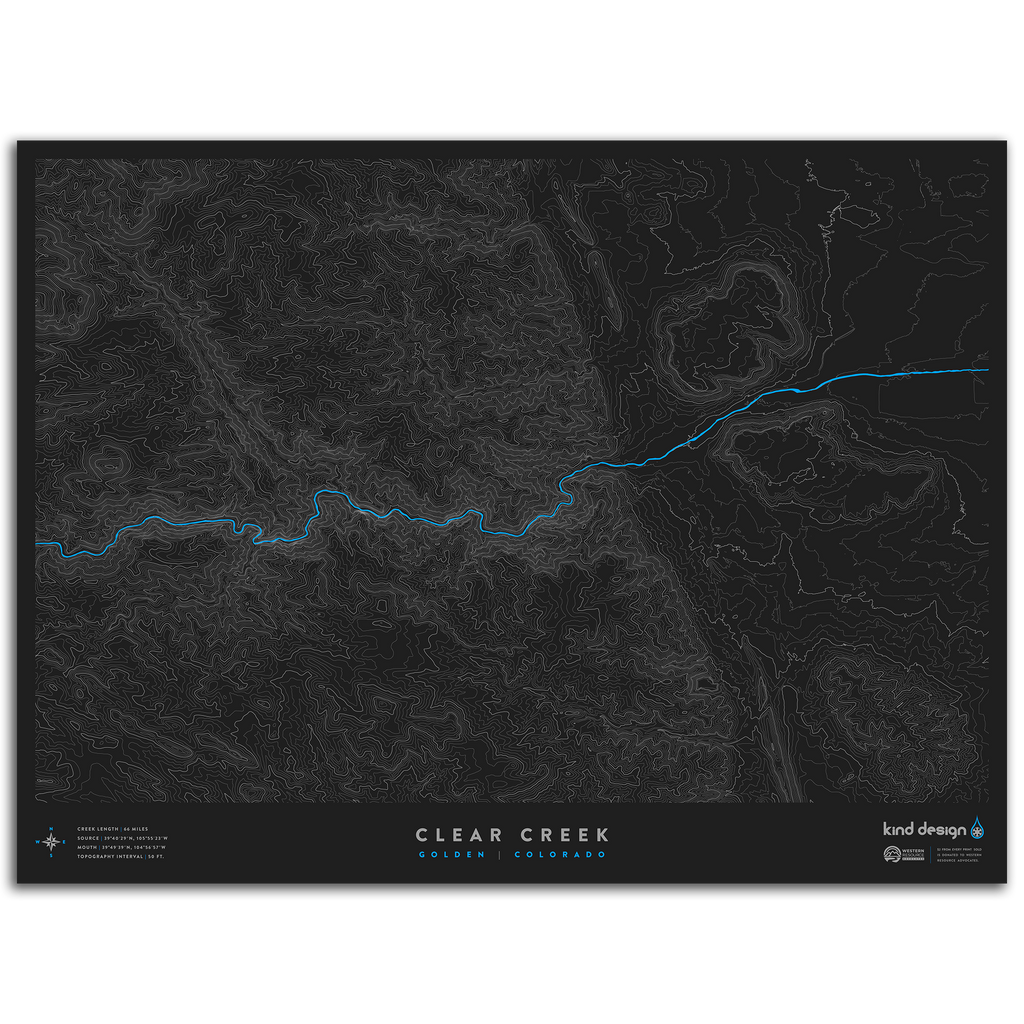
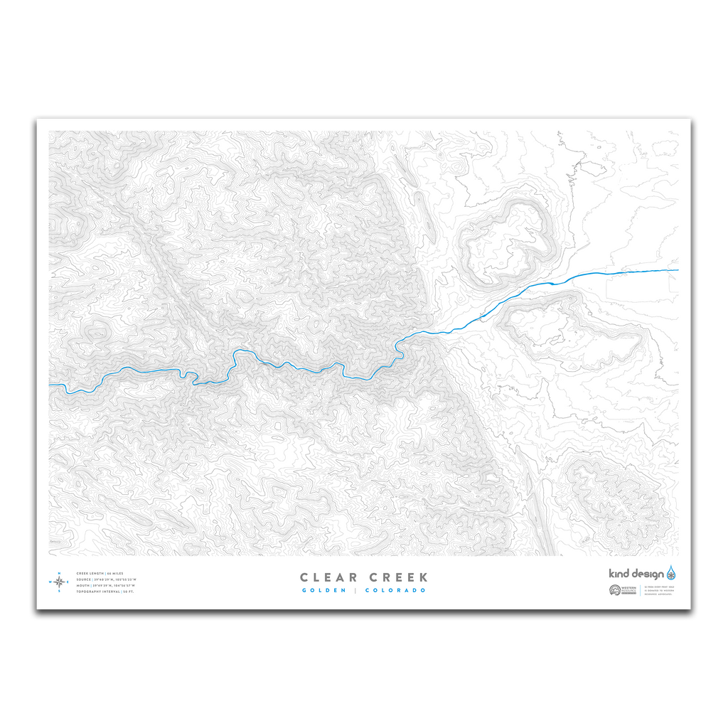
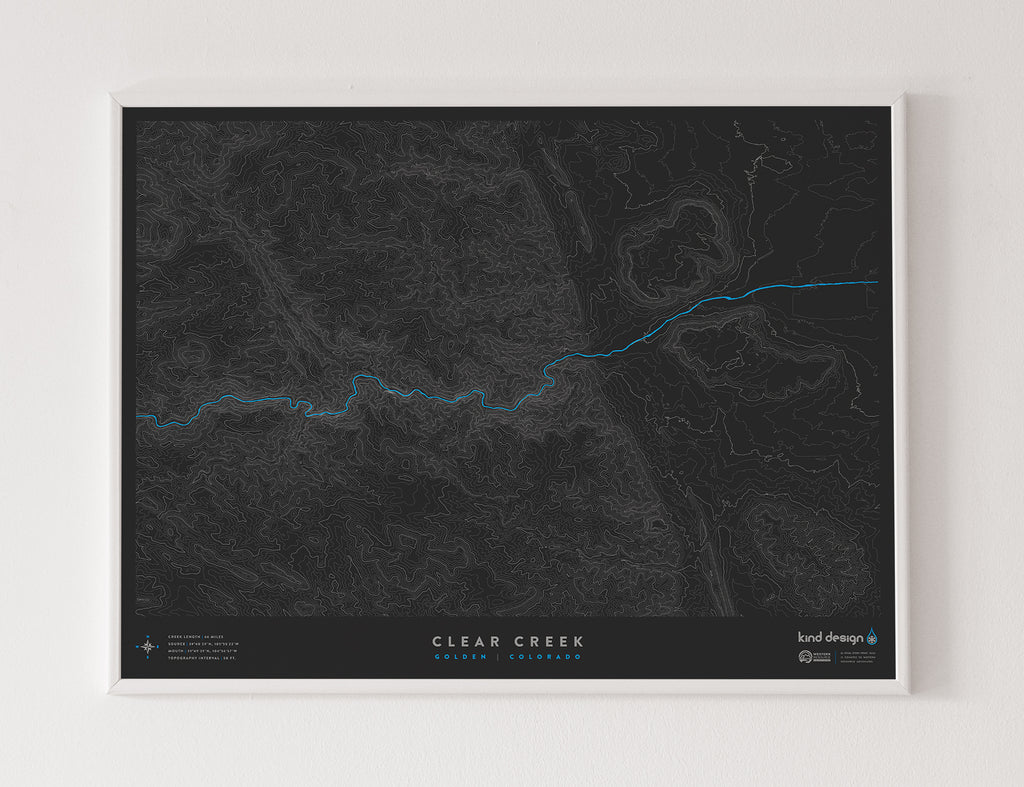
CLEAR CREEK / GOLDEN, CO
River Length: 66 Miles
Source: 39°40’29”N, 105°55’23”W
Mouth: 39°49’39”N, 104°56’57”W
Topo Interval: 50 Feet
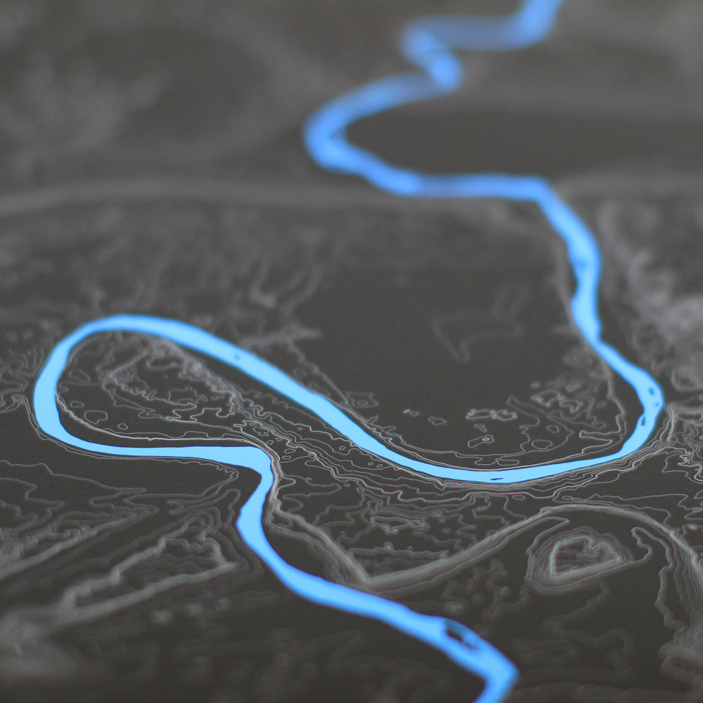
Clear Creek runs through Clear Creek Canyon where there is wonderful boating and fishing. It continues east through the town of Golden, Colorado, eventually spilling into the South Platte River, just north of Denver.
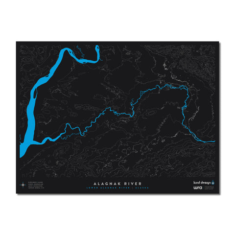
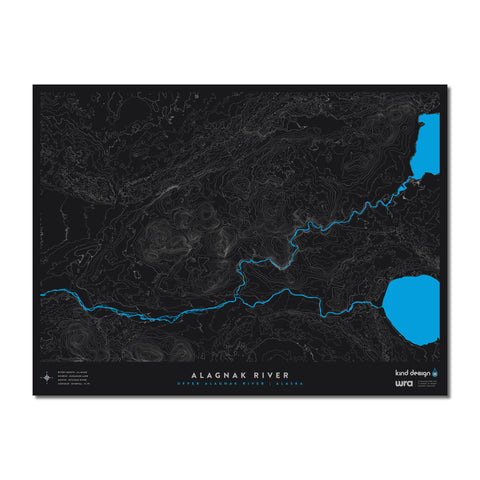
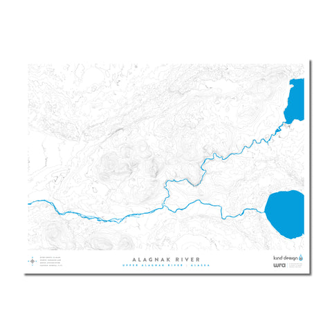
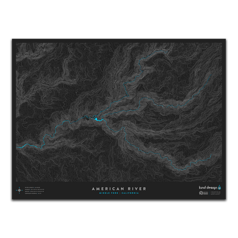
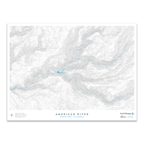
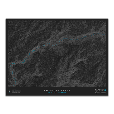
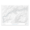
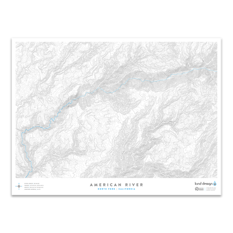
Our River Topo Maps feature accurate topographic & hydrographic data of rivers and creeks around the United States. Each print is carefully designed from scratch using a variety of techniques and real USGS data, creating unique artwork that you will not find anywhere else.
Each print is made in the U.S.A. using 100% cotton Moab Entrada archival quality paper with a slightly textured matte finish and exceptional color reproduction.
$2 from every print sold is donated to Western Resource Advocates, a 501(c)(3) nonprofit with a focus on protecting rivers and lakes across the west.
Each made-to-order print takes 7-10 days to print and ship.
We highly recommend framing prints immediately to avoid potential damage.