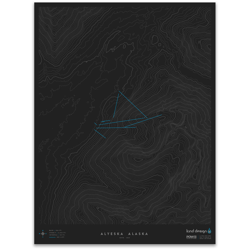


ALYESKA ALASKA - TOPO MAP
Estd: 1959
Base Elevation: 250 ft.
Summit Elevation: 3,939 ft.
Line Interval: 50 ft.
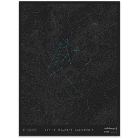
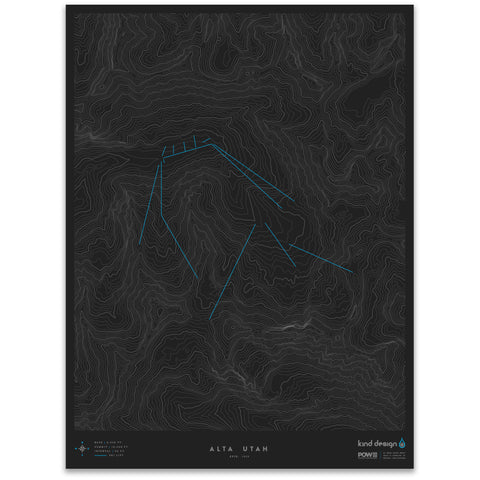
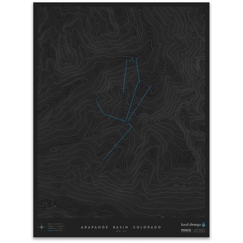
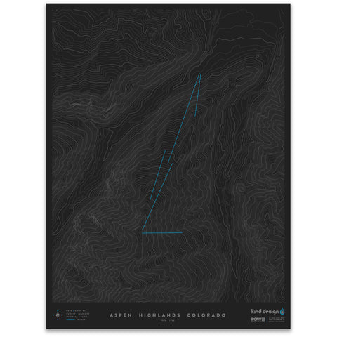
Our Ski Resort Topo Maps feature accurate topographic data of 60+ North American ski resorts and surrounding backcountry, with the ski lifts overlaid on top. The contour lines elegantly show how unique and beautiful the terrain is at each ski area, while the ski lifts give you a simple visual reference of how each resort is laid out.
Each print is made in the U.S.A. using 100% cotton Moab Entrada archival quality paper with a slightly textured matte finish and exceptional color reproduction.
$2 from every print sold is donated to Protect Our Winters, a 501(c)(3) nonprofit that leads a community of athletes, thought pioneers, and forward-thinking business leaders to affect systemic political solutions to climate change.
Each made-to-order print takes 7-10 days to print and ship.
We highly recommend framing prints immediately to avoid potential damage.