GORE CREEK / VAIL, CO
River Length: 18.5 Miles
Source: 39°36’29”N, 106°11’43”W
Mouth: 39°36’32”N, 106°26’57”W
Topo Interval: 75 Feet
Gore Creek rises along the high crest of the Gore Range and travels west through the town of Vail, where is meets the Eagle River at Dowd Junction.
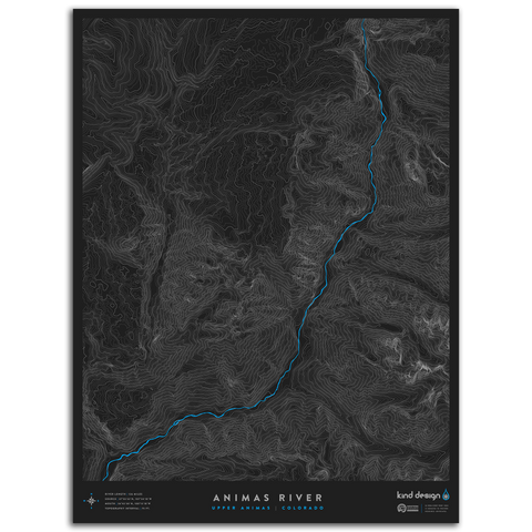
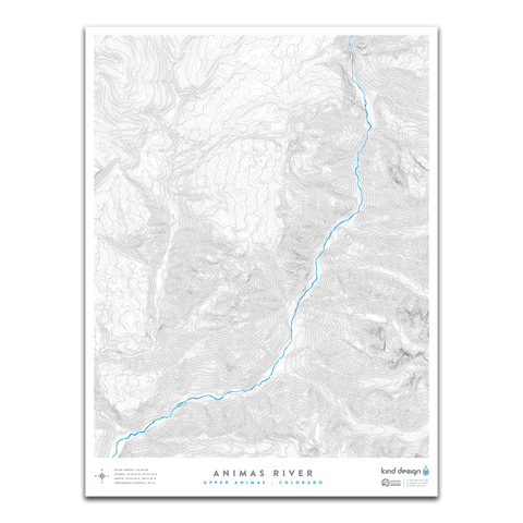
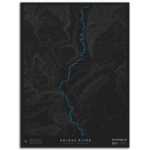
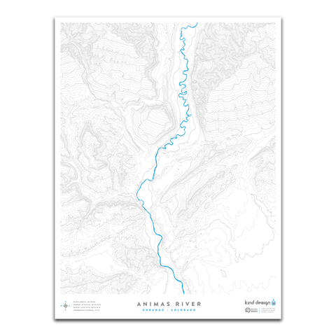
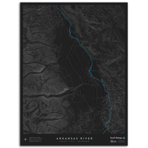
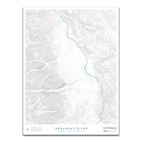
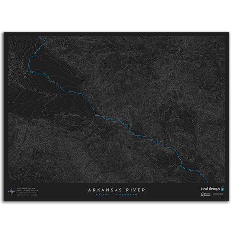
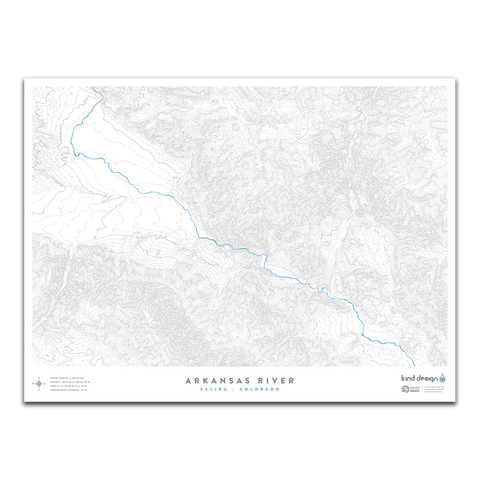
Our River Topo Maps feature accurate topographic & hydrographic data of rivers and creeks around the United States. Each print is carefully designed from scratch using a variety of techniques and real USGS data, creating unique artwork that you will not find anywhere else.
Each print is made in the U.S.A. using 100% cotton Moab Entrada archival quality paper with a slightly textured matte finish and exceptional color reproduction.
$2 from every print sold is donated to Western Resource Advocates, a 501(c)(3) nonprofit with a focus on protecting rivers and lakes across the west.
Each made-to-order print takes 7-10 days to print and ship.
We highly recommend framing prints immediately to avoid potential damage.